• Home
  • Information
    • About the Park
    • About the Conservancy
    • Photo Galleries
      • Park Artistry
      • Event Photos
      • General Photos
      • Historical Photos
    • Web Links
  • History
    • Roanoke Park History
    • KC’s Park & Boulevard System
    • George E. Kessler
    • Historical Photos
  • Plans
    • Tree Inventory
    • Trails
    • Progress to Date
    • Park Challenges
    • Gillham Park Example
    • Park Survey
    • Master Plan
    • Planting the Future
      • Coleman Highlands Spring
  • Community
    • Discussion
    • Donate to the Park
    • Get Involved!
    • Coming Events
    • Work in our Park
    • Thanks to our Supporters
Home History Historical Photos

Historical Photos

Created: 04 August 2010
Updated: 17 February 2016
Published: 04 August 2010
Written by Native
Hits: 6814
  • Print
  • Email

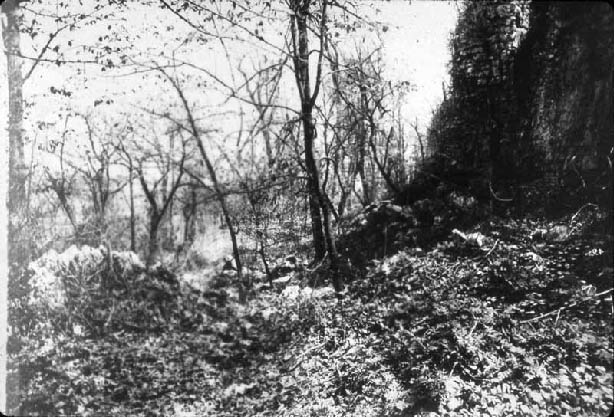
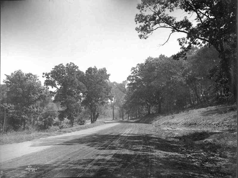
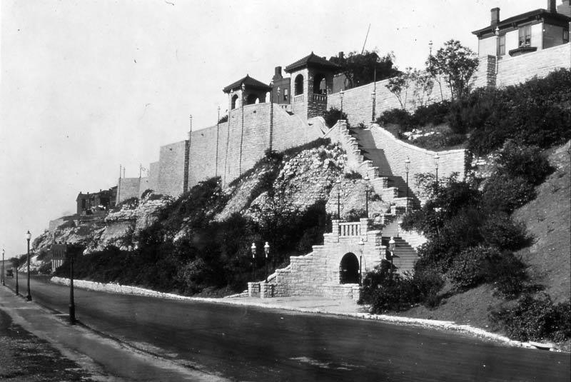
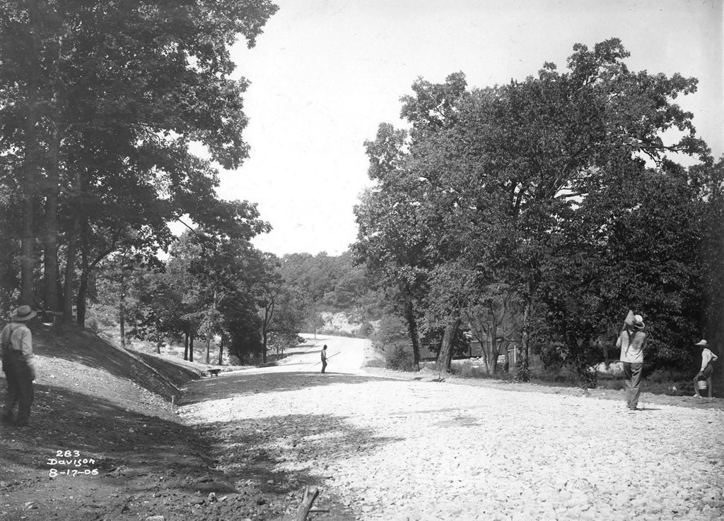
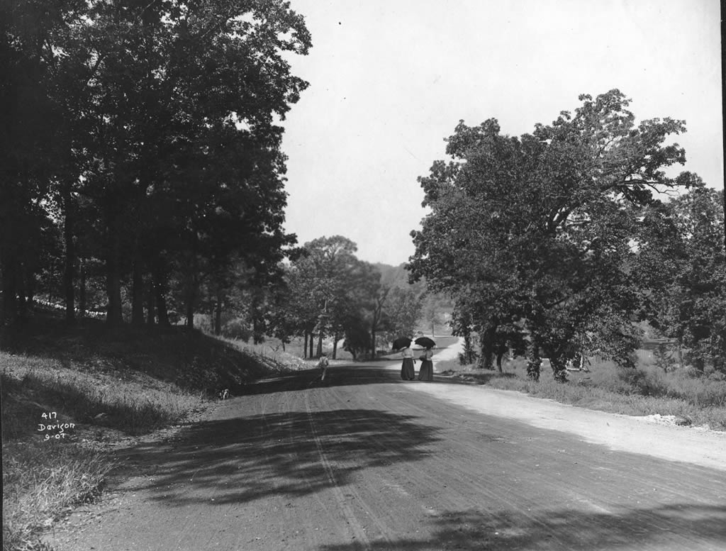
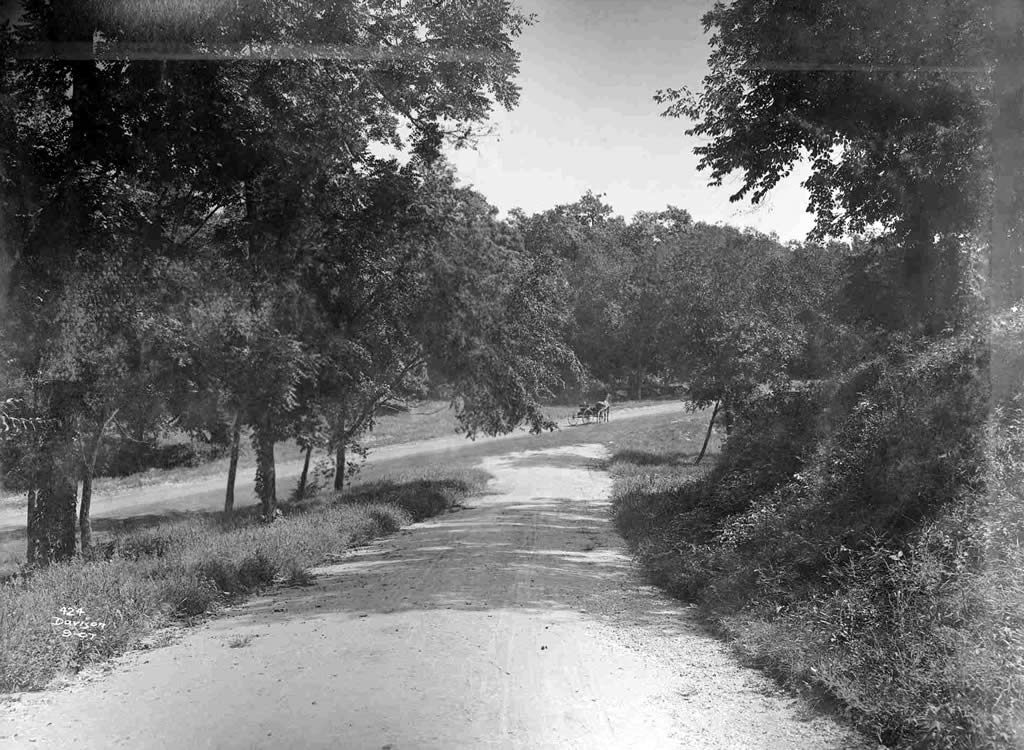
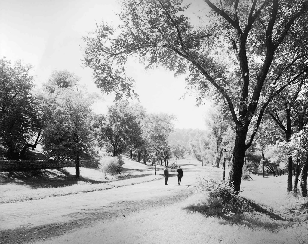
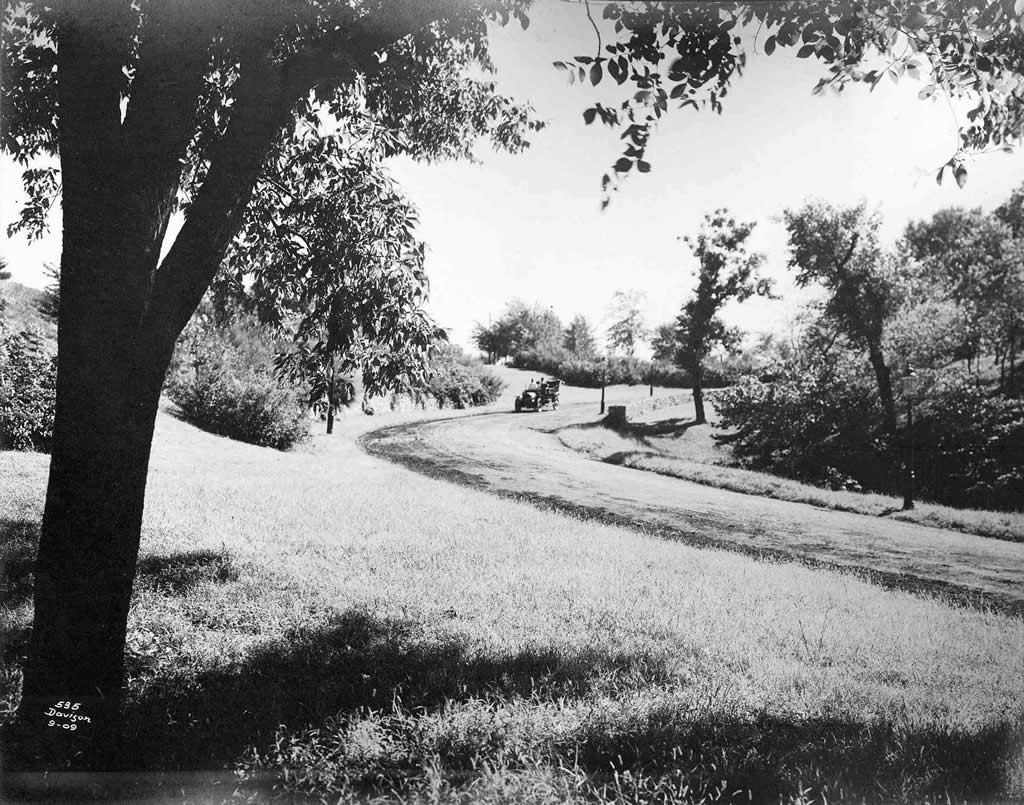
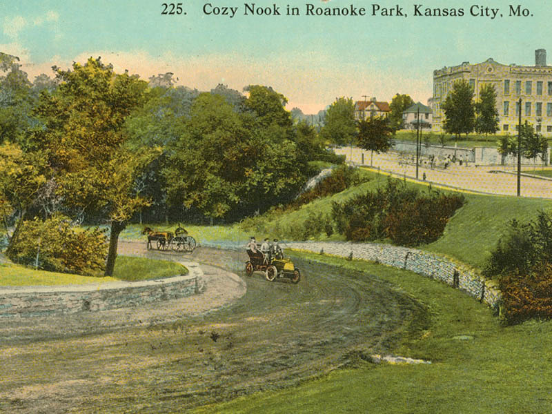
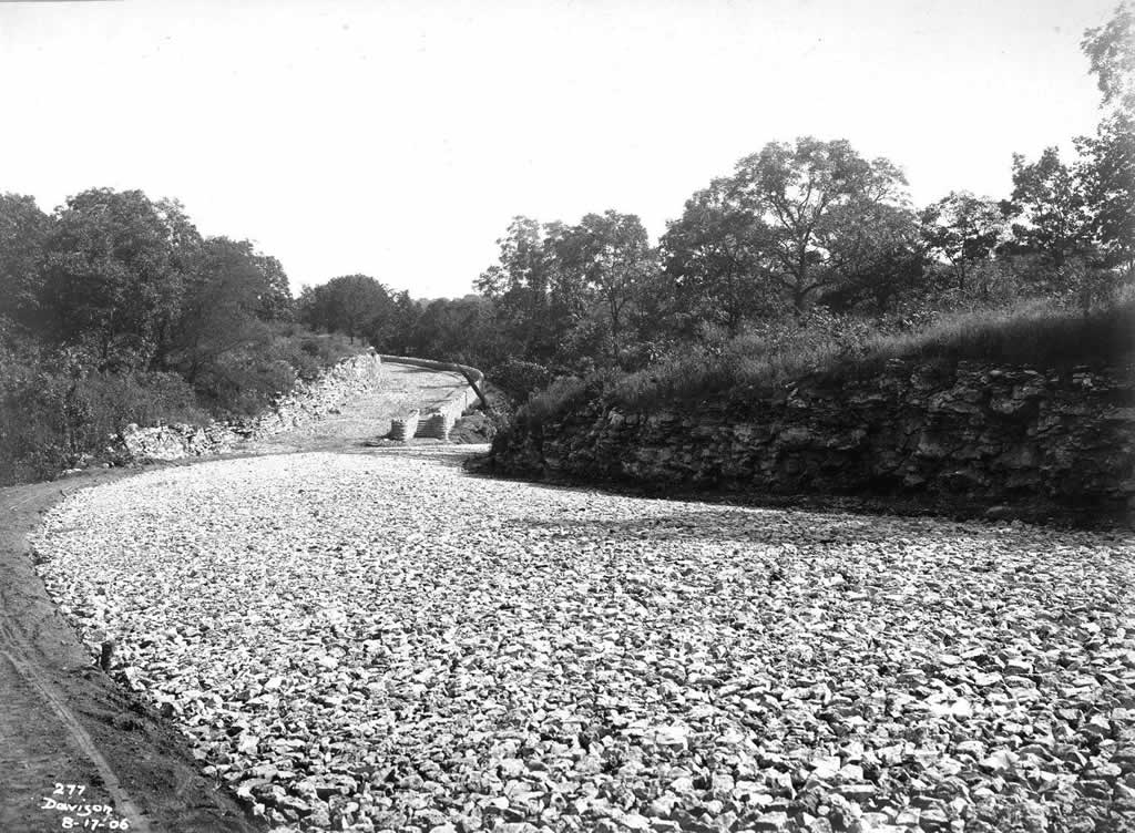
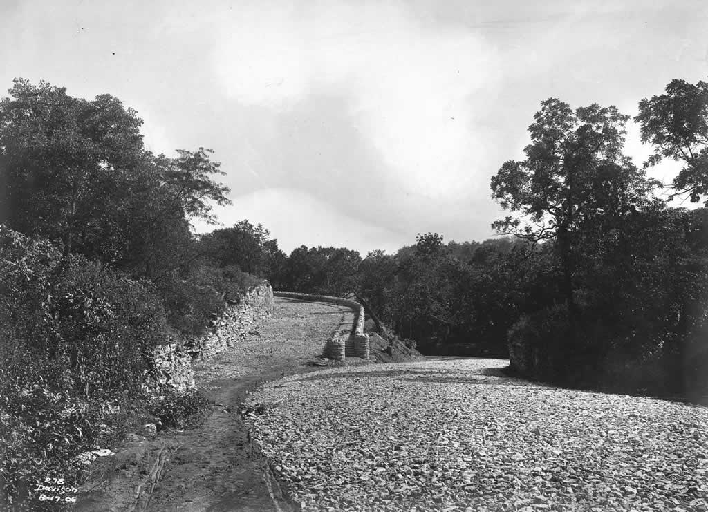
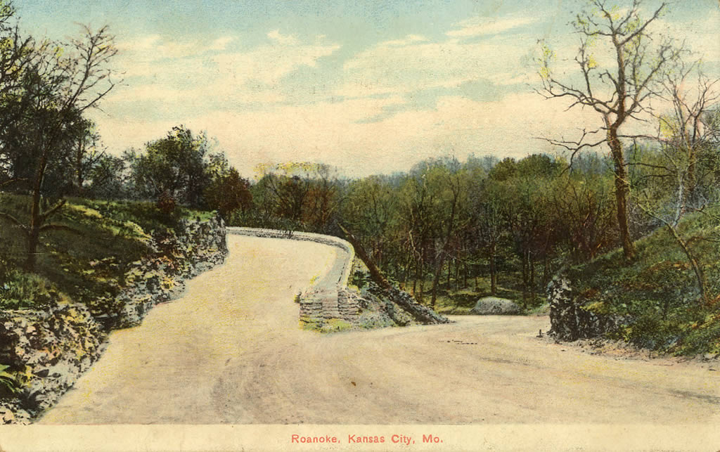
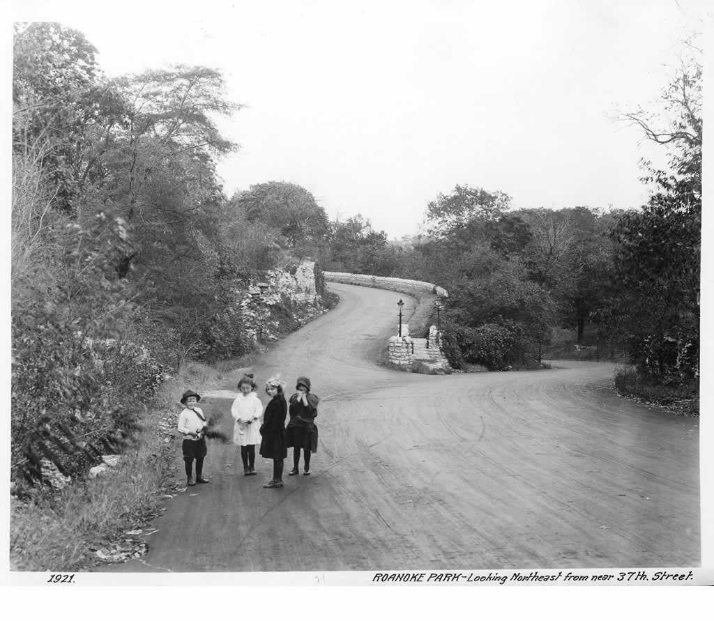
Here's a selection of images relating to Roanoke Park, from its earliest days through 1971:


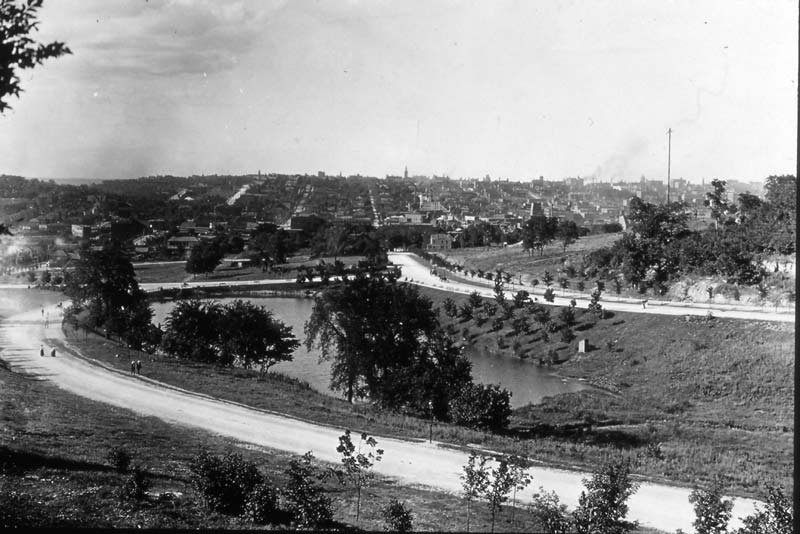
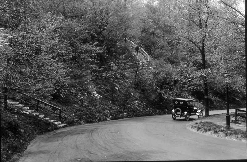
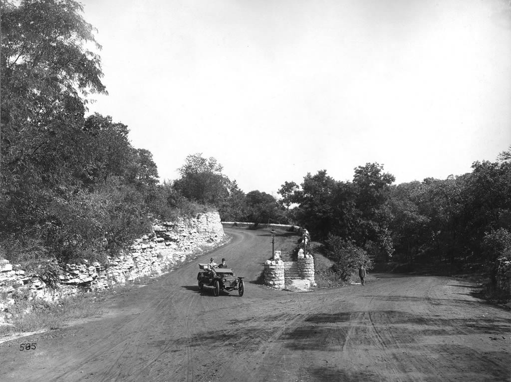
We have quite a few images of the intersection of Karnes Boulevard and Roanoke Parkway, near 37th & Wyoming. Here they are in chronological order:

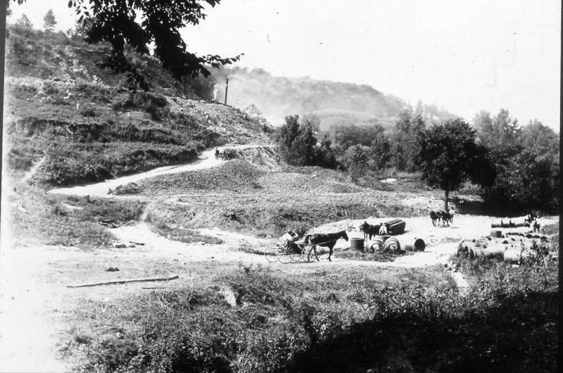
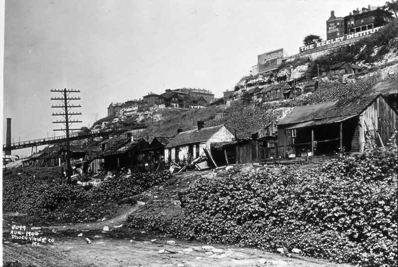
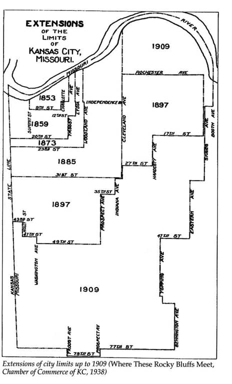
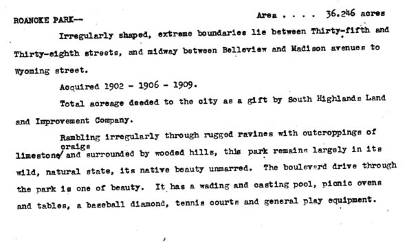
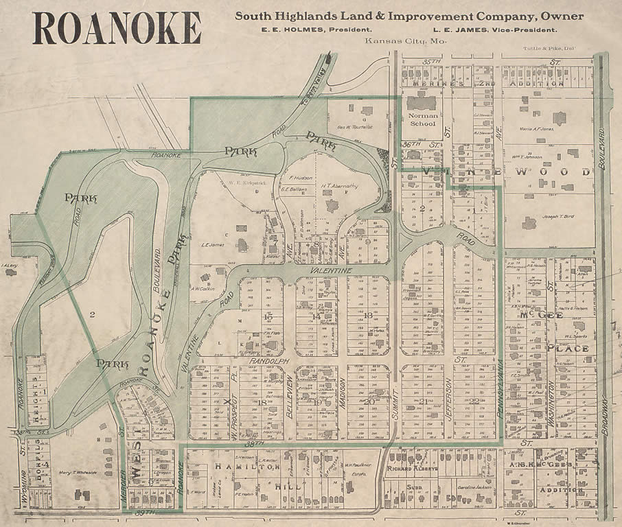
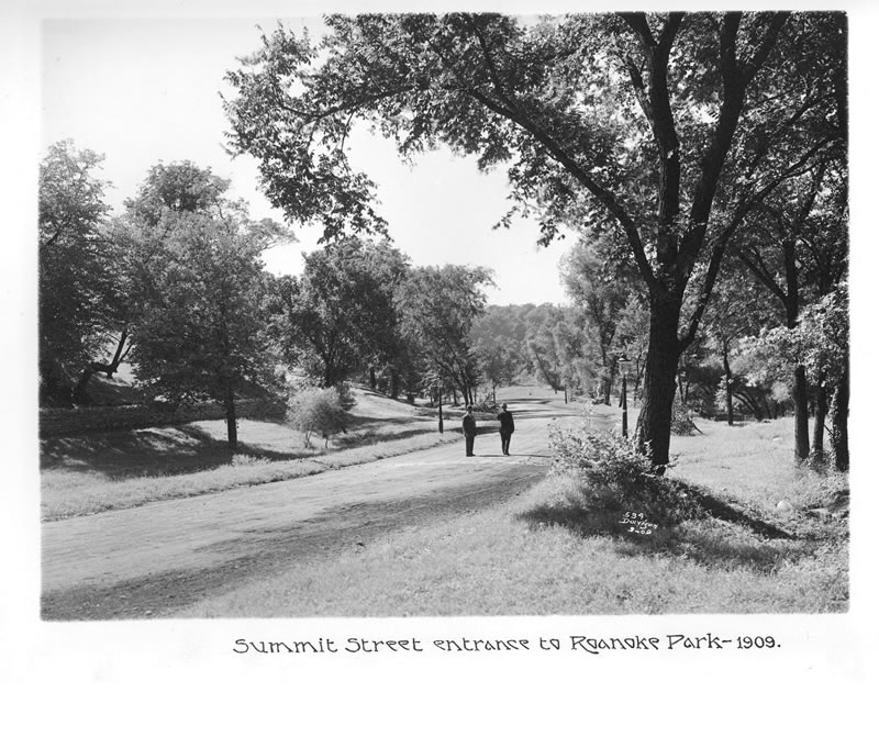
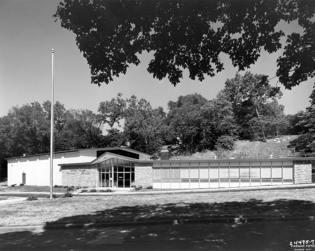
This album contains historical images pertaining to Kansas City's Parks and Boulevard System in general, and parts of it outside of Roanoke Park:

DONATE NOW

TRAIL INFO

Trail Maps, in various formats: 

Roanoke_Park_Trails.pdf (417 kb).

Roanoke Park Trees and Trails Google Map

"Roanoke Park Tour" on MTBProject.com

To avoid damaging trails, check Trail Status before biking or hiking off road. ("Rozarks" = Roanoke Park's 2.5 miles plus Rosedale's 3.5 miles.)

Contact the Westport-Roanoke Community Center to find out about their facilities or inquire about reserving spaces. 

Copyright © 2025 Roanoke Park, Kansas City, MO. All Rights Reserved.
Joomla! is Free Software released under the GNU General Public License.